Interactive Maps and Tools
Effective dissemination of project outcomes is a crucial, but often overlooked, piece of research. Until a few years ago, research findings were typically distributed to sponsors and the public in static formats such as journal articles, reports, charts, maps and graphs. Today, in addition to traditional formats, delivery of results to sponsors almost always takes the form of an online, interactive map application or data visualization tool. The examples below are just a few of the types of software applications produced at our Center over the last several years.
- Georgia Wetlands Restoration Access Portal (G-WRAP)
- Georgia Coastal and Marine Planner (GCAMP)
- Atlanta Tree Canopy
- Assessing Urban Tree Canopy
- Baseline Urban Tree Canopy Assessment: City of Atlanta
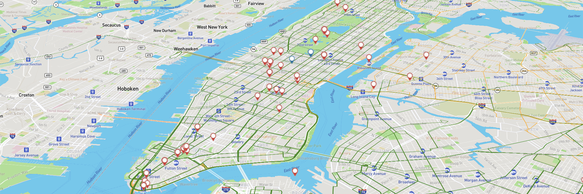
- Tracking the Atlanta Streetcar
- Urban Form and Energy Index
- Georgia Wetlands Toolkit
- Conserving Mountain Gorillas in Rwanda
- HELP for Fulton County Cities
- Municipal Incorporations
- Atlanta’s Charming Neighborhoods
- Social Media Analysis for Transit Assessment
- Atlanta City Design
- Greenspace Support
- Real-Time Flood Risk Modeling Using Social Media Data