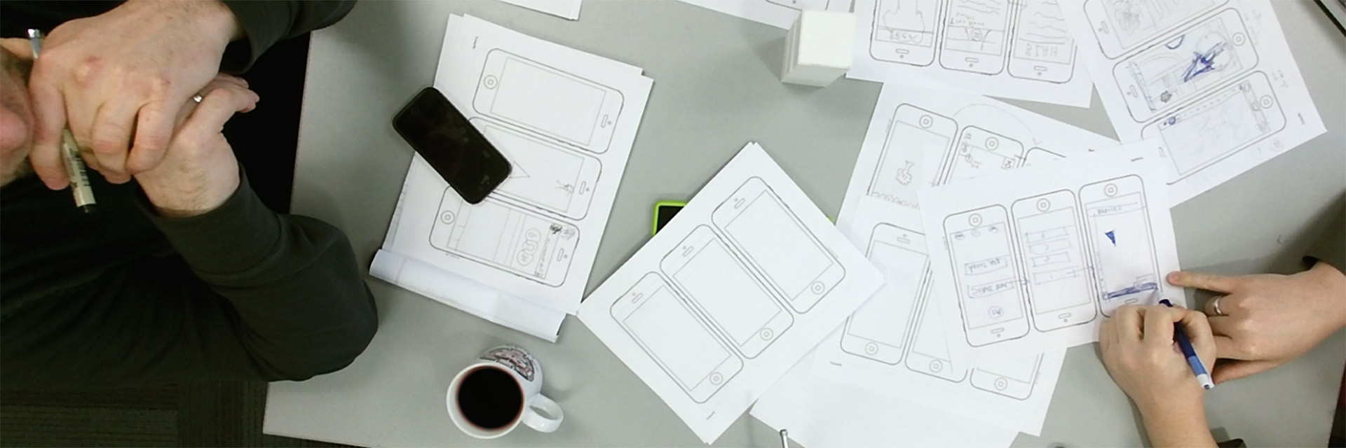
Our Research
At the Center for Spatial Planning Analytics and Visualization, we analyze and visualize geographic data information to help our partners and clients make informed decisions. Using graphs, images, maps, and other tools, we create scenarios to help them solve problems.
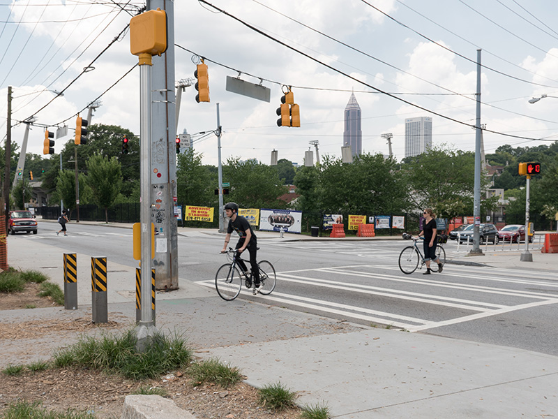
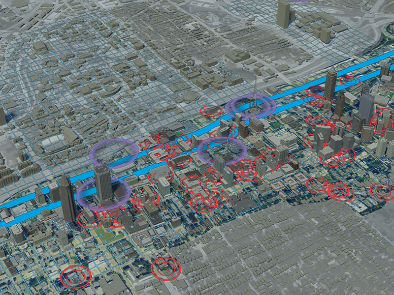
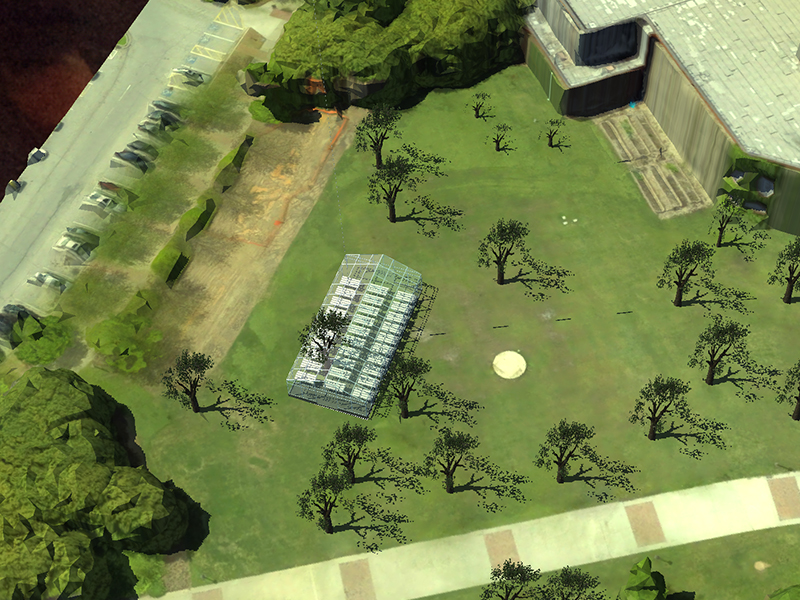
We create products, systems, and processes that touch people’s lives. For example, in 2014 we created an iPhone app that generates walking routes based on user preferences. Our research helps governments plan and work efficiently. In 2012 we conducted a tree canopy study to guide the city of Atlanta in its urban planning, and we helped the Georgia Department of Transportation develop a process for evaluating highway maintenance needs. We also recently created an interactive, map-based fiscal analysis model for DeKalb County, Georgia, to help its leaders better understand the potential effects of proposed incorporations of county land.
Our Center is not only strongly connected to nearby neighborhoods and communities, it also plays a leading role in applying its technological resources to help communities across the globe confront economic, social, and environmental challenges. Our research incorporates the work of the IMAGINE Lab.
Our research falls under four main areas of investigation. Let’s look at them.
Our Areas of Investigation
Sustainable Urbanization

Immersive Visualization and Simulation
Planning Support
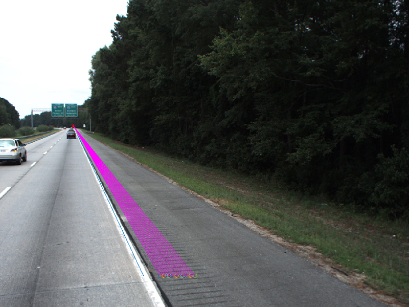
Image and Data Processing