Our Portfolio
We regularly present and publish reports on our findings and projects. Completed projects include a cloud-based tool for pavement condition monitoring and management; smartphone-based navigational tools for people aging with disabilities; and a toolkit for utilizing Georgia wetlands data. Our writings appear in numerous books and journals, and the numbers continue to grow each year. We make presentations on campus and at conferences and seminars in Atlanta, around the country and the world. Explore our portfolio below:
See Our Work

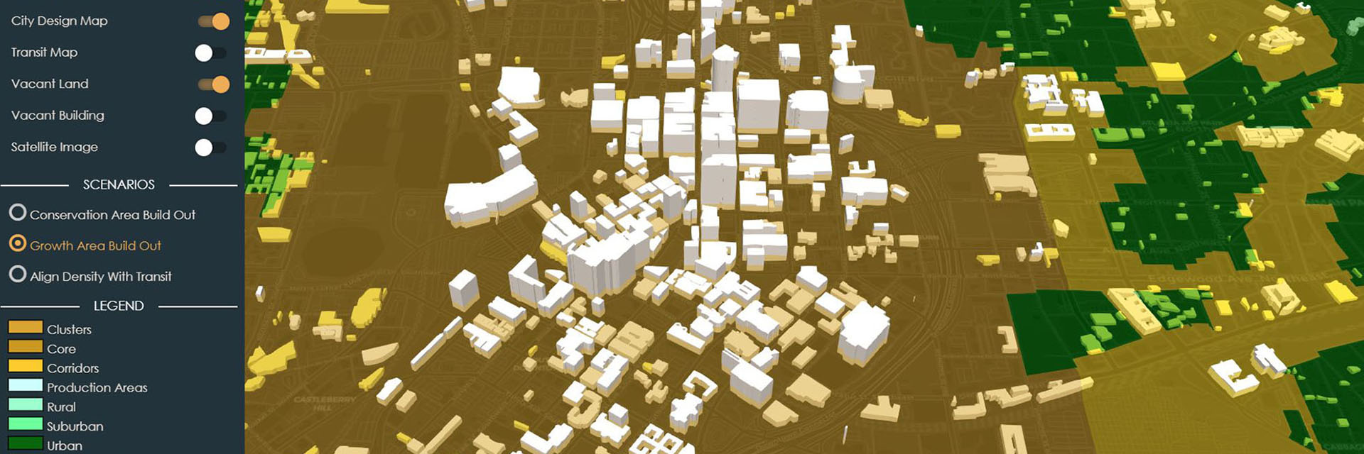
Our Projects
Our work covers a range of subjects, from pavement maintenance to coastal and marine planning to urban forest management.

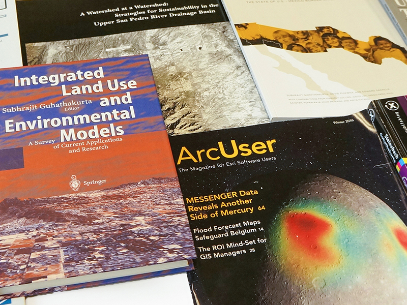
Our Books and Articles
The work of our researchers and graduate students shows up in books and professional journals.
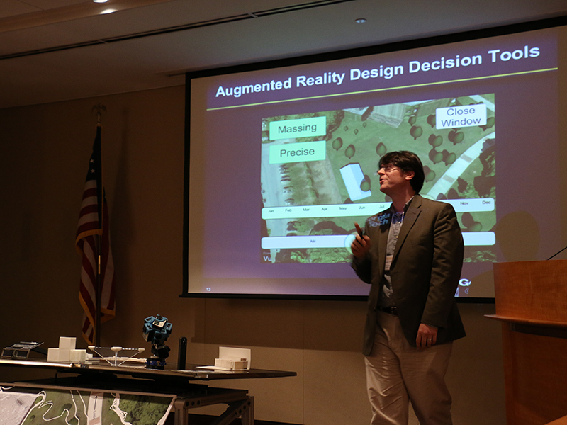
Presenting Our Work
Our researchers make presentations in Atlanta, the nation, and around the world.
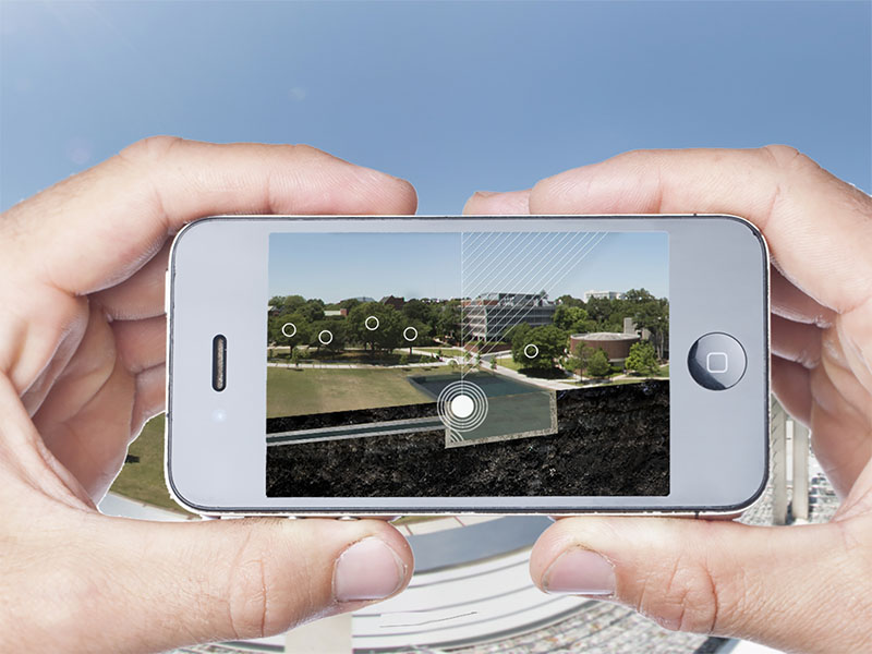
IMAGINE Lab
We provide exemplary applications of cutting-edge architectural visualization technologies.
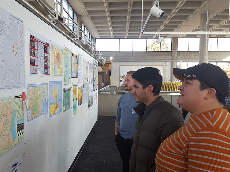
GIS Student Work
Our students create maps, applications, and other geospatial tools, and take part in GIS Day competitions.