, Senior Research Engineer Ramachandra Sivakumar makes a presentation to a class.

About Us

About Us

The Center for Spatial Planning Analytics and Visualization (CSPAV) develops and applies geospatial technologies to help communities prepare for economic, social and environmental uncertainties. 

Our work has a significant impact on planning, maintaining, and evaluating crucial infrastructure for sustainable, long-lasting urban growth. 

Begun more than 20 years ago as the Center for Geographic Information Systems, CSPAV is at the forefront of collaborative, interdisciplinary research for local, state, national, nonprofit and private entities across the country and the world.

GIS Applications and Projects

Our work crosses many disciplines: transportation, urban planning, conservation of land and animals, renewable energy, parks and recreation, and urban forestry. 

Among the GIS projects we have developed are tools that show possible future urban scenarios, contribute to debates about sustainable development, and evaluate the energy and water demands in different types of urban neighborhoods.

Virtual and International Possibilities

Our Center also includes the work of the IMAGINE (Interactive Media Architecture Group in Education) Lab, which strengthens our operations in the areas of augmented reality, 3D visualization, virtual reality, and image processing. 

We also are expanding our engagement internationally. Besides the Dian Fossey Gorilla Fund International in Rwanda, CGIS has established global partnerships with universities in Afghanistan and the United Arab Emirates (UAE).

According to Center Director Subhrajit Guhathakurta, these partnerships and others show how CSPAV is continually developing and implementing its expertise and resources to “expand [the Center’s] footprint on a wide range of globally dispersed projects."

More About the Center

Members of the Center staff attend a meeting.

Our Team

We pool the knowledge and skills of our research staff, advisory board, and graduate students.
A photograph of the outside of the Caddell Building prior to its renovation.

Our Story

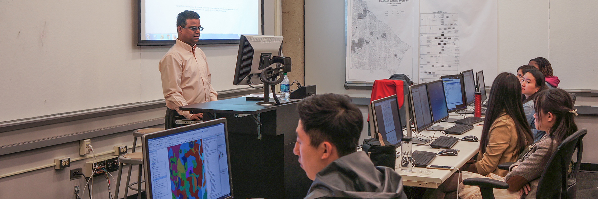
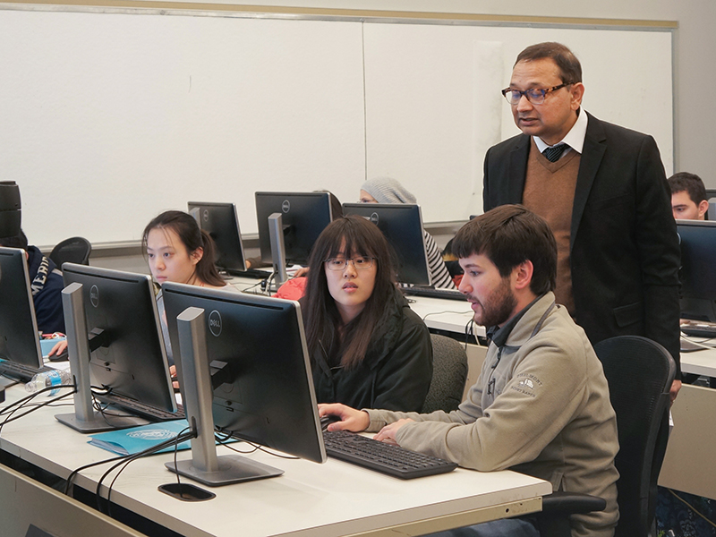
Geographic information systems as a field of study has been at Georgia Tech for more than 30 years.
An image of the Georgia Tech campus with the Atlanta skyline in the background.

Our Network

Our Georgia Tech partners cross many disciplines, and our external partners come from various industries.
Center Director Subhro Guhathakurta teaches a class.

Our Academic Role

Along with our research, we teach graduate courses to students at Georgia Tech's College of Design.

Questions?

 
If you can't find the information you were looking for, we'll get you to the right place.
Contact Us